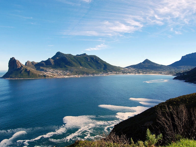
Initially constructed during the First World War, this 9km route with its 114 curves, skirts Chapman's Peak, the 593m high southerly extension of Constantia Berg, and follows the rocky coastline to unfold breathtaking views in both directions.
The route starts at the picturesque fishing harbour of Hout Bay and the climb winds steeply up to Chapman's Point, revealing breathtaking views of the sandy bays down below, until the road reaches lower levels again at Noordhoek.
Chapman’s Peak and the surrounding areas offer local and foreign visitors a myriad of things to do.
It also offers business people an alternative and convenient access route between Cape Town and the South Peninsula, saving the commuter up to 20 minutes in peak traffic. In short, it forms the gateway between Cape Town and the South Peninsula.
Toll road: Chapman’s Peak Drive is operated as a toll road. Regular road users with Category 1 vehicles (motor cycles) and Category 2 vehicles (passenger cars) are invited to take advantage of various frequent user benefits. The amount of discount depends on the frequency of usage.


